
India’s Monsoon Weakens as IMD Forecasts Below-Normal Rain for Next Two Weeks

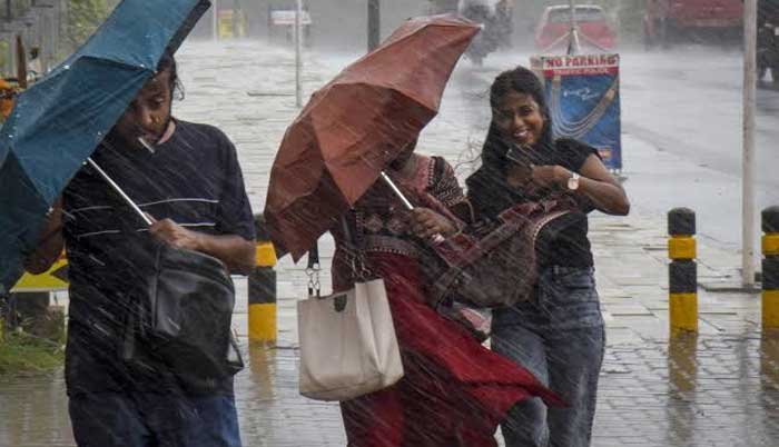
India’s monsoon is weakening at a critical point in the season, with the India Meteorological Department (IMD) forecasting below-normal rainfall across the country for at least the next two weeks, through September 2.
The all-India rainfall deficit had already reached 14% below the long-period average as of Saturday and is expected to widen as the monsoon trough remains anchored along the Himalayan foothills instead of shifting southward over central India.
According to the IMD’s extended-range forecast, rainfall is likely to remain below normal nationwide during both weeks of the forecast period, despite the development of some weather systems.
Heavy to very heavy rainfall is expected along the Himalayan belt and parts of northeast and eastern India. Peninsular India, however, is likely to see subdued rainfall during the coming week. A low-pressure area is also expected to form over the north Bay of Bengal off the West Bengal-Bangladesh coast, bringing heavy to very heavy rain to Odisha and Chhattisgarh through August 26.
The position of the monsoon trough is a key concern. Weather expert Navdeep Dahiya said its concentration around the Himalayan belt and northeast India would reduce rainfall elsewhere and that it could remain near the foothills for at least another week.
The trough’s failure to move south over central India is particularly significant because August typically brings some of the season’s most important agricultural rainfall to the region.
Private forecaster Skymet Weather has also sharply downgraded its seasonal forecast. It now expects monsoon rainfall at just 85% of the long-period average, compared with its April estimate of 94%, and has put the probability of drought at 70%.
Skymet warned that rainfall distribution is likely to remain uneven through the rest of August, with a strengthening El Niño and a weak Indian Ocean Dipole potentially worsening the deficit in September.
The rainfall shortfall is already unevenly distributed. East and northeast India have recorded a 26% deficit, followed by the southern peninsula at 23%. Northwest India is 11% below normal, while central India is closest to normal at a deficit of just 3%.
The worsening monsoon has raised concerns over winter crops sown in recent weeks. Garima Jain, CEO of agribusiness at Torq Commodities India, said erratic rainfall in key rain-fed regions such as Madhya Pradesh, Maharashtra, Karnataka, Rajasthan and Gujarat could push the overall deficit beyond 15%.
She highlighted pulses such as tur, along with soybean and maize, as crops requiring close monitoring and yield assessment.
Jain also warned that weaker agricultural output could add to food inflation, particularly amid global supply-chain disruptions and logistics bottlenecks linked to reduced cargo movement from Russia and Ukraine.
The monsoon outlook is also being influenced by a strengthening El Niño. Britain’s Met Office said the climate event is on track to become the strongest in more than a century, with Pacific Ocean surface temperatures potentially rising more than 3°C above normal. Such warming could also increase the likelihood of 2027 surpassing 2024 as the hottest year on record.
Comments are closed, but trackbacks and pingbacks are open.