
Cyclone ‘Arnab’ Likely? IMD Warns Of Deep Depression, Gives Landfall Update; Odisha Schools Shut

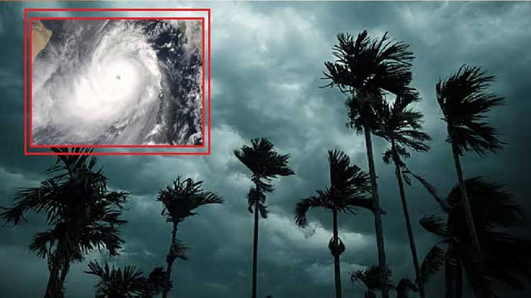
A depression over the west-central and adjoining northwest Bay of Bengal is moving towards the Andhra Pradesh-Odisha coast and is expected to intensify into a deep depression, the India Meteorological Department (IMD) said on Tuesday.
The system is forecast to move west-northwestwards and cross the north Andhra Pradesh-south Odisha coast between Visakhapatnam and Gopalpur during the night of September 23 and the early hours of September 24.
Depression Moving Towards Coast
According to the IMD, the depression has been moving westward and is expected to strengthen further over the next 12 to 24 hours.
The weather system is likely to bring widespread rainfall and thunderstorms to parts of Odisha and Andhra Pradesh. The IMD has warned of heavy to extremely heavy rainfall in several areas as the system approaches the coast.
The system is expected to cross the coast as a deep depression, rather than a cyclonic storm. Odisha Chief Secretary Anu Garg said authorities had been informed that the system was likely to intensify into a deep depression but not into a cyclone.
Heavy Rainfall Warning
The IMD has forecast extremely heavy rainfall at isolated places in south Odisha and north coastal Andhra Pradesh on September 23 and 24.
Coastal Andhra Pradesh is under warnings for very heavy to extremely heavy rainfall, along with thunderstorms and strong surface winds.
The IMD has also warned of squally weather along and off the south Odisha-north Andhra Pradesh coasts, with winds potentially gusting up to 75 kmph between September 23 and 24.
Authorities have warned of possible waterlogging, urban flooding and landslides in vulnerable areas, particularly where sustained rainfall has already saturated the ground.
Odisha Schools Shut In Several Districts
Amid the weather warning, authorities in several Odisha districts have ordered schools to remain closed.
Schools in Khurda, Ganjam, Jagatsinghpur and Gajapati have been shut as a precautionary measure. Anganwadi centres have also been closed in affected areas. Malkangiri has announced school closures through September 24.
Officials have also cancelled the leave of some government employees and asked personnel in vulnerable districts to remain prepared for emergencies.
The administration has kept cyclone and flood shelters ready in case the heavy rainfall causes flooding or other disruptions.
Red Alert For Parts Of Southern Odisha
The IMD has issued a red alert for parts of southern Odisha for September 23-25. Koraput, Gajapati and Ganjam are expected to receive heavy to very heavy rainfall, with extremely heavy rain possible at isolated places on September 23 and 24.
Other districts, including Kalahandi, Nabarangpur and Malkangiri, are also expected to experience intense rainfall during this period.
Will It Become A Cyclone?
At present, the system is forecast to intensify into a deep depression. Odisha authorities said the IMD had not indicated that it would develop into a cyclone.
The next few days will remain critical for coastal Odisha and Andhra Pradesh as the system moves closer to land. Residents in vulnerable areas have been advised to follow official weather and local administration alerts.
Next Cyclone Name: Arnab
If the system were to intensify into a cyclonic storm, the next name in the North Indian Ocean naming list would be Arnab, a name contributed by Bangladesh.
However, the current IMD forecast is for the system to cross the coast as a deep depression, and no cyclone warning has been issued on the basis of the current forecast.
Comments are closed, but trackbacks and pingbacks are open.