India’s fight against climate change reaches the skies: Satellites track warming planet and its impacts
India’s battle against climate change isn’t confined to policy debates in parliament or ground-level mitigation efforts—it’s increasingly unfolding hundreds of kilometres above Earth. Satellites are quietly monitoring rising temperatures, shrinking glaciers, shifting coastlines, and extreme weather events, providing crucial insights for adaptation and disaster preparedness.
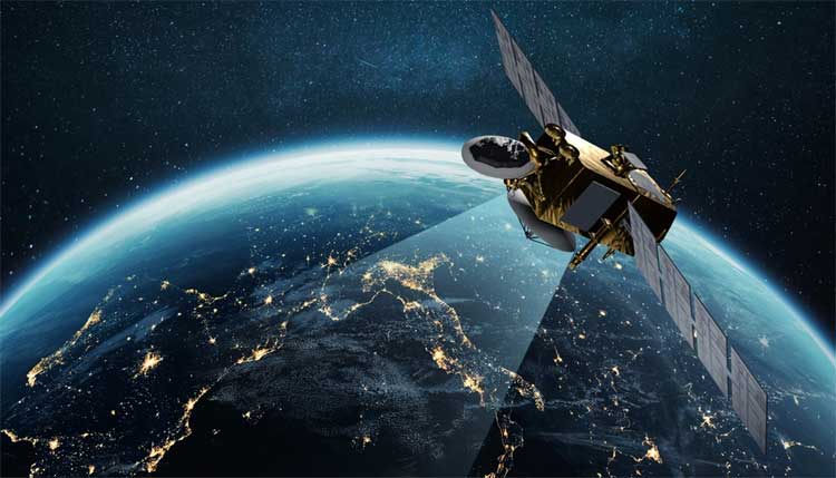
Satellites watching India
The Indian Space Research Organisation (ISRO) operates a fleet of Earth observation satellites that continuously track the land, oceans, and atmosphere. Key missions include INSAT-3D, SCATSAT-1, and Oceansat, which provide data on rainfall, cloud cover, wind speed, and sea surface temperatures—all vital indicators of climate change.
INSAT satellites, in particular, play a crucial role in cyclone monitoring over the Bay of Bengal and Arabian Sea, improving early warnings and saving lives. Long-term satellite data has revealed a worrying increase in extreme rainfall events, even as the total number of rainy days declines, a trend linked to climate change.
Monitoring the Himalayas and glaciers
Satellites such as Cartosat and Resourcesat help scientists track glacier retreat, snow cover, and glacial lake expansion in the Himalayas. Rapid glacier melt in states like Uttarakhand and Himachal Pradesh raises the risk of flash floods, landslides, and other climate-driven hazards.
Tracking coastlines and oceans
Along India’s extensive coastline, satellite imagery is used to monitor erosion and sea-level rise. This information is critical for vulnerable regions such as West Bengal, Odisha, and Kerala, where storms and flooding threaten coastal communities. Oceansat satellites also track sea surface temperatures, ocean colour, and phytoplankton levels, supporting monsoon forecasting, fisheries management, and coastal planning.
Supporting weather forecasts and disaster management
Satellite data feeds directly into the India Meteorological Department (IMD)’s weather models, strengthening early warning systems for cyclones, heatwaves, and heavy rainfall. SCATSAT, a scatterometer satellite, specifically aids in cyclone forecasting. Accurate satellite-driven forecasts have helped states implement heat action plans and disaster preparedness measures, potentially saving thousands of lives.
A backbone for climate adaptation
Earth observation satellites like Resourcesat, Cartosat, and RISAT provide high-resolution data on land use, forest cover, soil moisture, glaciers, and urban expansion. Combined with the geostationary INSAT and GSAT series, these satellites guide climate models, inform policy decisions, and support rapid adaptation strategies.
As climate impacts intensify, space-based monitoring is becoming increasingly vital. India’s “eyes in the sky” offer a powerful tool to understand, anticipate, and respond to a warming planet, helping the nation protect both its people and its ecosystems.
Comments are closed.